













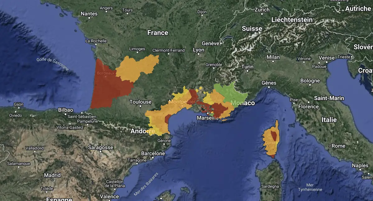
Whilst 25 times more land has been burnt compared with the same period last year, the risk of wildfires remains very high throughout France, particularly in the south.
According to our daily alert map, 34 areas are at ‘very high’ risk, 52 at ‘high’ risk, and a further twenty at ‘moderate’ risk. You can view our forest fire alert map at by clicking here.